Türkiye Earthquake 2023
Damaged Buildings
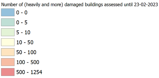
These are the amount of damaged buildings as assessed by the Ministry of Environment, Urbanization and Climate Change. The data is available on building level here. This data is aggregated to Neighborhood (Mahalle) level and the map shows the amount of buildings per neighborhood that are classified as collapsed, to be urgently demolished or heavily damaged. You can click on the neighborhood and then on the number on top to see more detail on how many buildings are assessed in which class. Currently the map shows data from 23rd February 2023. Hosting of the map is supported by QGIS Cloud. Processing the data and visualizing of the map thanks to IFRC.